UPDATED: Environment Canada continues rainfall warning

By Nelson Daily Staff
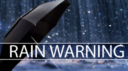
The rainfall warning issued by Environment Canada Monday is scheduled to continue through the BC interior Wednesday with heavy rain expected.
And guess what? There’s also snow in the forcast expected at 1500 metres.
The remnants of a significant low pressure system are giving heavy rain to the Peace River region and widespread showers to the BC interior.
Environment Canada said rain will re-intensify tonight as another low pressure system develops over Southern Alberta.
These heavy rains will continue over much of the BC interior through Wednesday as the low pressure stalls over Alberta.
In the BC interior, 10 to 30 mm is expected Tuesday night with locally 30 to 40 mm possible in the East Kootenays.
Additional amounts of 10 to 20 mm are possible on Wednesday.
The rain is expected to conclude Wednesday evening with a 40 percent chance of showers.
Environment Canada issues rainfall warning
Environment Canada has issued a rainfall warning and a thunderstorm watch for the West Kootenays with precipitation amounts up to 30 millimeters is expected Monday night through Tuesday.
The Environment Canada website said a significant low pressure system over the Northwestern U.S. will track northeastwards to Southern Alberta by Tuesday.
This system in combination with a very moist upper level southerly flow will produce widespread heavy rain in much of the southern BC interior.
Conditions are favourable for the development of severe thunderstorms in southern BC. The thunderstorms will develop in Idaho and move rapidly to the north or northeast potentially affecting southern BC this evening.
The main threats with these storms will be strong wind gusts and large hail.


Comments