Snowfall warning in effect for overnight, Wednesday morning

By Nelson Daily Editor
By Timothy Schafer, The Nelson Daily
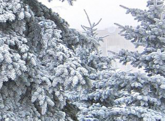
Get your shovels ready and start your snow blower engines, Nelson is squarely in the bull’s eye of a snowfall warning for tonight.
Environment Canada is warning people that up to 15 centimetres of snow is expected tonight and into Wednesday morning as a moist frontal system currently over the coast will begin to move into the interior regions of BC.
This system will spread snow throughout the West Kootenay region beginning Tuesday afternoon.
The snow is expected to become heavy at times tonight with snowfall amounts of 10 to 15 cm. expected by midday Wednesday before changing over to rain.
And in the backcountry
Confidence in the stability of the backcountry snow is still rated as fair, according to the Canadian Avalanche Centre.
There is still some uncertainty regarding the timing and intensity of the next pacific frontal system and this could add some significant deposits to the 100 centimetres that exists at the tree line elevations.
Currently, warm moist snow has been “sluffing” off of steep alpine slopes that have had exposure to the sun and above freezing temperatures.
Wedenesday: Moderate precipitation and moderate southwest winds should bring snow to the region as the freezing level drops back to valley bottoms.
Thursday: We should see another good pulse of moisture resulting in more snow. Expect moderate southwest winds and temperatures around -4 degrees C at the tree line.
Terrain to watch
Immediate lee of steep ridgelines where wind-drifting is evident.
Flanks of steep gullies and unsupported sections of convex rolls.
Travel advice
Start the day on smaller slopes and build up from there if there are no signs of instability. Watch for early-season obstacles, such as stumps and rocks and open creeks.
Snowpack
Suspect new surface hoar growth in the alpine and at tree line in shaded areas with the top 15-20 cm. of the base as new snow.
This sits on variable old wind slab surfaces. A rain crust exists at or very near the ground. At present, the bond between the rain crust and the overlying snow appears good, although this could change in the future if the snowpack remains thin and the cold temperatures return.
Source: Canadian Avalanche Centre


Comments