All good things must come to an end, even the great summer weather

By Bruce Fuhr
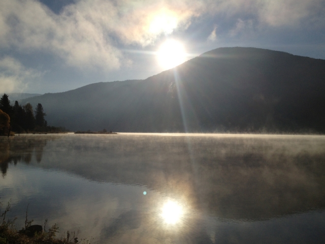
As they say in the Kootenays, wait five minutes and the weather will change.
Not so since late July when a blocking upper ridge over most of B.C. kept inclement weather away and B.C. the envy of the rest of Canada.
“Simple reason for the long summer weather is what we call a blocking upper ridge,” said Chris Cowan, a meteorologist at the Southeast Fire Centre in Castlegar.
“Normally these upper ridges move from west to east and tend to just move along. So we get a little bit of unsettled weather then get a ridge that lasts a few days and then another trough comes in behind it.”
That’s the norm. But sometimes the ridge just doesn’t move.
Which is what happened since late July.
“What happens sometimes is (ridge) builds up to a really high altitude and get elongated and once it gets elongated like that it either stays where it is or retrogresses,” Cowan explains.
“This one stayed which we call a blocking pattern.”
Despite the warm, dry trend, Cowan says there were no record highs broken in the Castlegar area.
Ironically, the only records set was for low overnight temperatures in September.
“We had a dry air mass, which tends to have a very big variation between the overnight low and daytime high,” said Cowan.
“On September 11th we recorded 3 C and on the 12th, it was 1 C.”
Of course even people with the poorest of memories still remember the opposite experience in June when storm after storm soaked the region, leading to flooding in many parts of the West Kootenay.
“June was the wettest month on record at the airport in Castlegar . . . not just the wettest June but the wettest month ever recorded,” Cowan said.
“We had around 240 mm of rain,” Cowan added. “Normally in June we get 60 mm.”
After July hammered the region with a few storms, summer started in the latter part of the month.
The dry weather hovered over the region, leading to August being the second driest month on record.
Cowan said September was also extremely dry with records showing the region received 32 percent (30 mm is the average for September) of the average rainfall with temperatures being three degrees over normal.
However, like a bad kidney stone, all things must come to pass.
Friday Cowan said clouds should start flowing because the ridge is sagging down towards the south.
Mid-Saturday showers will start, picking up with a considerable amount of rain expected in the evening.
Sunday is okay before a real juicy Pacific system arrives Monday.
“Basically it’s getting back into what we normally see in October where we have quite a strong jet stream carrying a lot of weather disturbances and bringing in the rain,” Cowan said. “
“It will be more of a late fall, late October, early November weather pattern than what we’ve been having which a very prolonged upper ridge up until now.”
But West Kootenay-ites know not to worry, because in five minutes, most likely, the weather will change again.


Comments