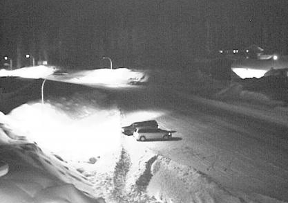
'Monsoon-type' weather soaking the Kootenays
Ministry of Transportation District Manager Hugh Eberle is issuing a warning to drivers of a “monsoon type” storm heading for the Kootenays.
“The old adage “out like a lion” sure appears to be in effect here in the Kootenays as we transition into spring,” Eberle said in a media release Wednesday.
“After a relatively drier and colder past few months, we are into monsoon type weather now.”
Eberle said the last few waves of moisture brought large accumulations of snow to the upper elevations and snow/rain to the lower. The present forecast indicates that another significant band of moisture will arrive Wednesday night and stick around Thursday providing additional precipitation.
“There’s going to be possibly 15 centimeters overnight and another 10-20 centimeters of snow tomorrow for Kootenay Pass,” he said.
The regions can expect ponding of water at the lower elevations, likely slush at the mid elevations and even some frozen compact at the upper elevations due to cold pavement temperatures.
The rains have also increased the risk of avalanches in the Kootenays. Therefore expect delays and closures on our highways over the next few days prompting avalanche technicians to initiate avalanche control on highway passes.
For up to date information on these changing road conditions and check DriveBC for up to date road conditions or locally here on twitter


Comments